
Neva Bay is the name of the water area located in the east of the Gulf of Finland. The sleeves of the Neva River are directed to the top of the lip. They feed a shallow bay, desalinating its waters. The Neva Bay is characterized by specific features, which are determined by a special hydrochemical and hydrobiological regime.
The second name of the Neva Bay
At the beginning of the 19th century, sailors who served in the Baltic Fleet ironically called the Bay of Markizov Puddle. The Maritime Ministry of the Russian Empire was then ruled by the Marquis I.I. de Traverse. He imposed a ban on long sea voyages. The fleet, cruising, did not leave the limits of Kronstadt. Baltic officers, sarcastically mocking the official’s policies, used his title to nickname the gulf.
Geographical position
In the east, Neva Bay is defined by the outskirts of a sand bar formed by the Neva. In the west it is limited by the outline of Lysy Nos - Kronstadt - Lomonosov. The northern side of the water area adjoins the North Coast of the Neva Bay reserve.
The bay was connected with the rest of the Gulf of Finland (until protective structures appeared) located in the area of Kotlin Island and called the North and South Gates. Now the Gulf of Finland is separated from the lip (on the Gorskaya-Kronshtadt-Bronka abbreviation) a monolithic complex formed by dams designed to protect St. Petersburg from floods. In its current state, the Neva Bay is an isolated flowing reservoir.
Description of Neva Bay
Prior to the construction of dams, the water mirror of the bay occupied an area of 329 km 2. Now, taking into account the fact that the western border of the reservoir lies along the line of the protective complex formed by dams, the area of the bay is close to 380 km 2. The water area with a flat sandy bottom is filled with a water mass of 1.2 km³.
The Neva Bay of the Gulf of Finland from east to west stretches for 21 kilometers - this is the largest body of water. The maximum width of the water area is about 15 kilometers, and the depth varies from three to five meters.
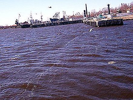
The approaches to the defense complex on the western and eastern sides are framed by barriers of natural and artificial origin. Due to obstacles and monolithic structures, water exchange between the salty waters filling the Gulf of Finland and the desalinated water area of the bay is difficult. Obstacles do not allow the invasion of wind waves, walking along the bay, in the lip.
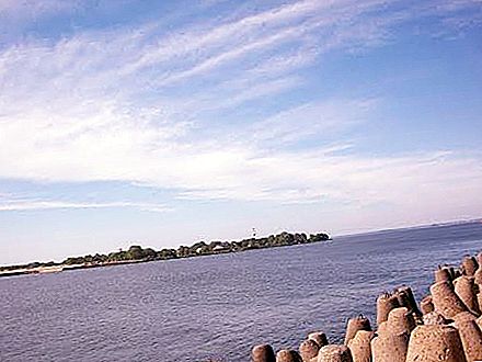
The western line of the Lomonosov Shoal, which the defense complex outlines, rests against the South Gate. Thanks to this ship passage channel, the Gulf of Finland and the Neva Bay communicate with each other. The South Gate area is not too wide, only 200 meters. The average depth of the passage reaches 16 meters.
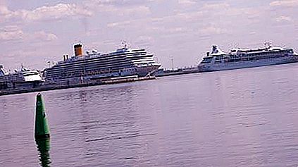
The mouth of the Neva with the lip is connected by the navigable Sea Canal. In the Nevsky coast, occupying the eastern part of the bay, a whole system of shallows and fairways alternating with longitudinal hollows was formed. The fairways are represented by channels: Elaginsky, Petrovsky, Galerny, Ship, Rowing and Sea. The minimum shallow depth is 1.5 meters. The length of the bar from west to east is 3-5 km, from south to north - 12-15 km.
Coastal characteristics and weather conditions
The coast, which is framed by the Neva Bay of the Gulf of Finland from the north, is low, sometimes swampy or elevated by alluvium. The shores here are overgrown with light forests and shrubs. The southern coast, stretching from Strelna to the mouth of the Neva, is also low. The coast, stretching west of Strelna, is elevated and covered with forests. The coasts in the surf zones are dotted with boulders.
Neva Bay is filled with fresh water. Only in the west of the water is brackish water. In the coastal zone, water exchange is slow. In summer, at depths, the water warms up to 16-19 ° С, on the shallows - up to 21-23 ° С. The duration of the swimming season varies from 50 to 70 days.
Ice regime of the Neva Bay
With the approach of mid-November, ice lips in the form of sludge and fat appear on the water mirror. Complete freezing of the reservoir is marked by the end of December. Completely ice cover is set at different times. The length of the period depends on the weather conditions in the bay. In icy and calm weather, ice rises in 2-3 days. With winds and weak frosts, the process takes about a month.
Under typical conditions, the ice mass at the end of winter increases to 30-70 centimeters (in the fairways it does not exceed 20 cm). In excessively cold winters, the ice thickness approaches 80-100 cm in the coastal zone, 60-80 cm in the central part of the reservoir, and 20-30 centimeters in the fairways. The ice mass begins to break open in the twentieth of April. And by the end of the month, the Neva Bay of the Gulf of Finland is completely freed from ice shackles.
The ice cover collapses gradually. Through cracks are everywhere cut ice, ravines gap in the fairways. The ice is opened in two directions: from the central part of the lip to the coastlines and from the east to the west.


