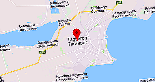
Taganrog is a city in the south-west of the Rostov region. The administrative center of the region is the city of Rostov-on-Don, it is located east of Taganrog, at a distance of 70 km from it. The settlement in question is located on the shores of the Sea of Azov (Taganrog Bay). The city arose in 1698 by decree of Peter the Great. The population is 250, 287 people. The climate of Taganrog is relatively mild and moderately dry. In summer, hot, dry weather prevails.
Favorable for its impact on the environment. The climate of Taganrog, in general, is quite stable, and extreme weather events are rare. Despite the fact that the city is considered a resort, it faces acute environmental problems. Large industrial enterprises, a wide transport network and urban landfills pose a serious threat to the environment.
Geographic features
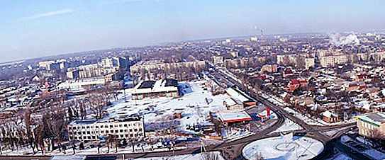
Taganrog is located in the steppe zone in the southern part of the European territory of Russia. The relief is flat, wavy. The terrain is slightly inclined towards the sea. The maximum height above its level reaches 75 m. 2 rivers flow through the city: the Big Turtle and the Small Turtle, which form beams with the same names.
Due to the increased friability of the rocks, erosion phenomena are quite often observed: rugged beams and hollows. Their slopes are often steep and easily destroyed.
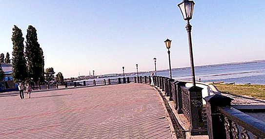
The sea is characterized by turbidity and very shallow depth, which grows slowly. The beaches are sand and pebble, with a width of 15 to 25 meters. Between the city and the beach is a high (up to 30 meters high) cliff.
Climate Taganrog
The climate in the city and its environs is temperate continental, moderately dry, with many sunny days. The average annual temperature is +10.3 ° С. Hot summer. The average July temperature is about 25 ° C. The maximum recorded temperature was +41 ° C.
In winter, frosts occur. The absolute minimum of winter temperature is -32 ° С.

The difference between the average temperature of the warmest and coldest months is 27.2 ° C.
In winter, cold continental air masses dominate, sometimes Arctic invasions are observed. In summer, due to strong heating of the land, dry, heated steppe air dominates, giving high daily maximums. The proximity of the sea slightly softens the heat and increases air humidity.
The frost-free period is an average of 208 days.
Humidity is significant: about 60% in the summer and 80–90% in the winter.
Wind mode
The average wind speed is 3.3 m / s. It is minimum in August (2.8 m / s) and maximum in February (3.9 m / s). Sometimes strong steady winds occur with a surge of sea water, which leads to erosion of the coast and landslides.
Most often, east and north-east winds are observed. Very rarely happens southern and southeast. Due to the proximity of the sea, the breeze regime of air mass movement is typical. Therefore, a light southerly wind blows during the day, carrying moist sea air, and at night a northerly wind that carries dry air of the steppes. At the same time, winds from the sea are more intense than from land. Breezes are more pronounced in the warm season.
Sometimes calmness happens. This is much more common at night than during the day. Most often they are in the first quarter of the year.
Such a wind regime creates good resort characteristics of the Taganrog climate. We can say that the city has a mild maritime climate, the influence of the sea smooths out sudden changes in temperature. The best time to stay is from late spring to early autumn.
Precipitation
Most precipitation falls in the form of rain and falls in the warm season. The smallest annual amount of precipitation was 292 mm, and the largest - 732 mm.
The thickness of the snow cover is generally not large. In December, it ranges from 3 to 10 cm, in January it is in the region of 15 cm, and in February it is 18 - 20 cm. Obviously, these figures will change due to climate warming.
On average, the annual rainfall is 588 mm. The maximum is in July. Due to global warming, the rainfall rate for a later period (2000 - 2011) decreased and amounted to 444.5 mm. At the same time, the maximum of their loss shifted to September, and in June their number dropped sharply. Warming makes its adjustments in summer weather, making it more stuffy and hot, and at the same time drier. All this, of course, leads to the heating of sea water, which increases the risk of its "flowering".
Extreme weather events in Taganrog
Extreme weather events rarely occur in Taganrog. But in recent years, the number of various anomalies around the world has increased dramatically. Taganrog was no exception. The year 2014 turned out to be unfavorable:
- On January 29, heavy snow fell on the city. Public transport was paralyzed for several days. Driving on intercity routes was also impossible. One of the buses on the Odessa-Krasnodar route was generally stuck in snowdrifts. For 3 days the rescue operation continued. It was possible to completely eliminate the consequences of the emergency only by the seventh of February.
- The next element went through the city after about half a year. On September 24, 2014, a severe hurricane was observed in Taganrog. The air velocity then amounted to 32 m / s. Due to the wind surge of sea water, its level rose by more than 3 meters, which is the highest indicator in the history of observations. As a result, the lowlands were flooded. The houses located there suffered. Because of power line breaks, electricity was cut off everywhere. The total damage from the elements amounted to 230 million rubles.


