One of the largest territorial entities in Chuvashia is Ibresinsky district. In what part of the republic is it located? How many people live within it? What is the nature and economy of the area?
Ibresinsky district of the Chuvash Republic: general information
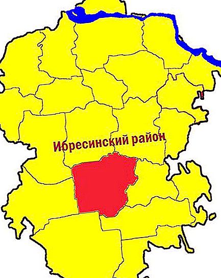
600 kilometers east of Moscow is the tiny Chuvashia. Ibresinsky district is the third largest in its composition. Its total area is 1200 square meters. km It is located in the southern part of the republic. Location of the district on the map of Chuvashia:
The Ibresinsky district of the Chuvash Republic was established in September 1927. At the time of formation, there were 70 villages. Today there are fewer settlements within this region - 57. The total number of its population has decreased (almost by half).
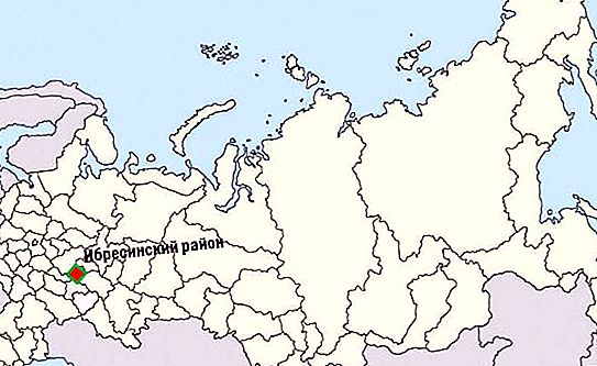
The Kanash-Alatyr railroad (38 km long) runs along the territory of the district, as well as the Cheboksary-Yalchiki and Kanash-Alatyr highways. The location of the district on the map of Russia can be seen in the photo below.
The administration of the Ibresinsky district of the Chuvash Republic is located in the village of Ibresi, at 49 Maresyeva Street. Residents of the district are admitted on various issues daily (except Saturday and Sunday), from 8:00 to 17:00. Today, the head of the administration of the Ibresinsky district is Sergey Gorbunov.
The nature and ecology of the area
The relief of the area is hilly and densely dissected by ravines, gullies and river valleys. The relative height of individual hills and hills reaches 50-80 meters. Deposits of shale, phosphorite and kaolin have been discovered in the bowels. Numerous rivers and streams belonging to the Volga basin flow through the territory of the district (Kirya, Bula, Kubnya, Khoma and others). There are few lakes, and their area is insignificant.
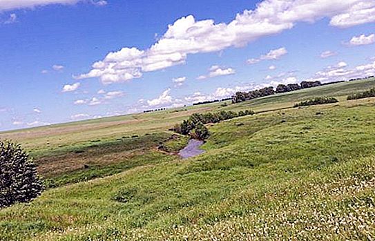
More than half of the territory of Ibresinsky district is covered with forest. The main tree species in these forests are spruce, pine, larch, birch, linden, aspen and alder. The area has great recreational and tourist potential and is recognized as the cleanest in the environmental respect on the map of Chuvashia. This region is also famous for its plantations of medicinal plants (thyme, lemongrass, Rhodiola rosea and other species).
Ibresinsky district: population and economy
As of the beginning of 2017, 23.5 thousand people live in the district (the eighth place in the republic in terms of population). Interestingly, by the beginning of World War II there were almost 40 thousand inhabitants. Since 2002, the population of the Ibresinsky district has been rapidly declining.
The level of urbanization is low: about 40% of the population is considered urban. True, there are no cities in this area at all. There are two urban-type villages (Ibresi and Buinsk), as well as 55 villages. The administrative structure of the district distinguishes one urban and 12 rural settlements.
Both industry and the agricultural sector are developed in the region. The most productive sectors of the local economy are logging, woodworking and the food industry. Ibresinsky district produces furniture, boards and lumber, bricks, molasses, milk, as well as various confectionery products.
Most of the industrial enterprises are located in Buinsk and Ibresy. Villagers predominantly work in agriculture, which specializes in beef and dairy farming, raising pigs, and growing potatoes and vegetables. Recently, beekeeping has been developing in the area.


