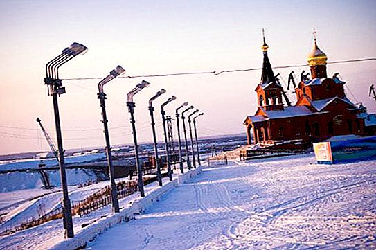
The city of Dudinka is located beyond the Arctic Circle in the permafrost zone, at the mouth of the Dudinka River (a tributary of the Yenisei), on behalf of which the city was named. From Krasnoyarsk to the city - more than 2.5 thousand kilometers.
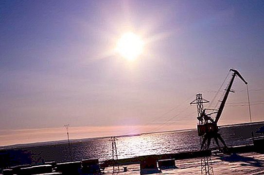
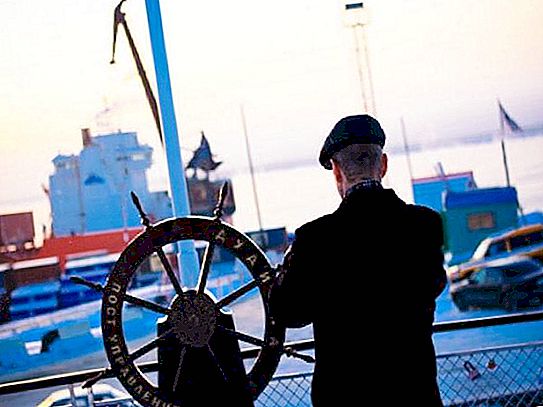
The main attraction of the city is the seaport, impressive for its size and massive moorings. The city of Dudinka is an international seaport located in the lower reaches of the Yenisei River. It is the largest marina in Siberia and the largest northern marina of the country.
Seaport of Dudinka
The port is located at the confluence of the Dudinka River with the Yenisei. It is characterized by year-round navigation time provided by icebreakers. The port of Dudinka is connected by sea with the cities of Arkhangelsk and Murmansk, and in summer - by river with Dikson and Krasnoyarsk. It is connected with the cities of Talnakh and Norilsk by road and rail. The port area is 24.9 hectares, the water area is 30.2 km 2. The port's cargo turnover is 1132 thousand tons (2012). The throughput is about 25 thousand tons per day. The port has 112 port cranes.
This is an Arctic marina on the federal highway of the Northern Sea Route.
Port History
The construction of the port began in 1935. A mining and metallurgical plant was being built in Norilsk, and there was an urgent need for the delivery of goods for construction. The first facilities in the port were erected in 1936, he received his first ships in 1939.
The port was officially opened on December 8, 1944. In 1945, it was transferred to the Norilsk Mining and Metallurgical Combine, from that moment it is a division of the plant.
In 1952, the construction of the railway linking the port of Dudinka with the city of Norilsk was completed.
For a long time, cargo was delivered to the metallurgical plant for four months (only during the summer navigation), since in the winter the water area of the Dudinsky Port was completely covered with ice. In the 60s, atomic icebreakers appeared and the period of Arctic navigation significantly increased.
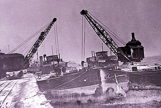
In the 60s, the construction of moorings began, on which gantry cranes were installed in 1965. The first hundred-ton floating crane appeared here in 1967. With its appearance, the port's cargo turnover increased, amounting to 1, 220 thousand tons per year.
In 1973, winter navigation was opened in the port of Dudinka. Since 1978, the Murmansk-Dudinka communication became year-round thanks to the appearance of the icebreakers "Captain Sorokin", "Siberia" and "Captain Nikolaev", which were able to enter the Yenisei.
In 1982, the port of Duda receives the status of a sea port.
In 1984, freight traffic exceeded 6 million tons.
In 2001, two hoisting cranes, three auto-loaders, 10 modern cranes began to be operated.
In 2005, the first Norilsk Nickel high-class container ship was launched. It is designed for sailing unaccompanied by icebreakers. In 2009, another such container ship, the Talnakh diesel-electric ship, arrived at the port.
In 2011, the fleet of the port was replenished with the Yenisei tanker, it is capable of passing ice strata without an icebreaker, the maximum ice thickness of which is up to 1.5 m.
Since 2012, a mobile defense complex has been operating in the seaport of Dudinka, which provides control of the sea and land within a radius of 50 km. The complex includes seismic and hydroacoustic stations, which make it possible to detect and recognize the enemy at the approaches to the port.
In 2012, the Dudinsky Sea Port became international; a permanent checkpoint across the state border was opened here.
Port Features
This is a unique port, its berths are flooded annually during the spring flood of the Yenisei River. At this time, equipment and cargo are evacuated to a height of 20 meters. The peak of high water is observed on June 7;
Summer navigation of the seaport lasts approximately 130 days, from early June to mid-October. Winter navigation of the vessel is accompanied by icebreakers.


